How do GPS tracking devices work in fleet management?
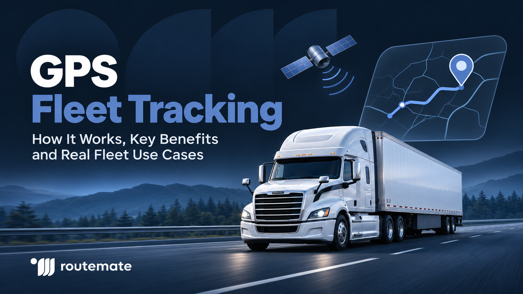
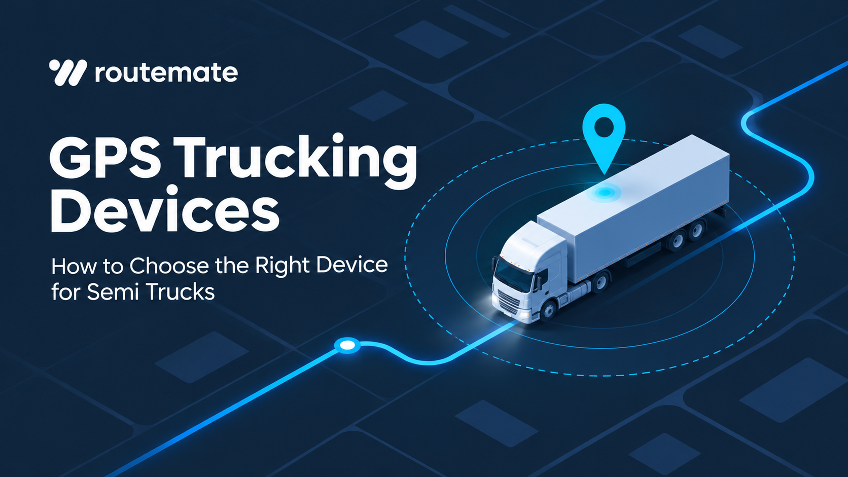
A GPS tracking device calculates a vehicle’s position from satellite signals. It then sends that position to fleet software over a communication network, such as cellular or satellite. Managers can use the map and trip history to coordinate dispatch, answer customer questions, and review vehicle movement.
GPS satellites broadcast their position and time. A receiver measures signals from multiple satellites to calculate its location. The U.S. government’s GPS overview explains that a receiver uses signals from at least four satellites to determine a three-dimensional position.
GPS finds the location, while cellular or satellite networks send it to the fleet platform. The European Space Agency’s fleet tracking guide describes both communication methods.
Basic trackers report location and trip data. Telematics devices may also collect engine, ignition, or sensor data. Trucks with GPS navigation may still need a tracker that shares location with dispatch, since navigation alone does not create a fleet view. Confirm what each device supports before choosing it.
For a trucking operation, GPS truck tracking can help dispatch see vehicle locations and share updates. RouteMate’s GPS tracking platform includes live vehicle tracking, real-time alerts, and location sharing for delivery coordination.
GPS vs. Bluetooth tracking: what should fleet managers know?
GPS tracking is a good fit for trucks and other mobile assets moving between roads, yards, and regions. Bluetooth Low Energy (BLE), on the other hand, detects tagged items nearby through a compatible device or gateway. Each technology serves a different purpose, and some fleets use both.
A GPS tracker determines its position using satellite signals, then relies on cellular or satellite service to report it. That makes GPS useful when you need to track a truck or trailer beyond a fixed site.
Bluetooth tags need a nearby phone, vehicle device, or gateway to detect them and update their location. The Bluetooth Asset Tracking Profile explains how Bluetooth Low Energy devices locate asset tags. BLE can be useful for finding tools kept near a truck or within a yard.
| Tracking method | Works well for | What to check |
|---|---|---|
| GPS | Semi trucks, trailers, and assets moving between locations | Cellular or satellite coverage, update rate, battery or power source |
| Bluetooth | Tools and equipment near a truck, phone, or gateway | Which devices can detect the tag and how often the tag is seen |
Use GPS to track a truck along its route. Bluetooth may be enough to check whether a tool is near a vehicle or in a depot. Fleets can use both, but nearby Bluetooth detection is not continuous GPS tracking.
Which GPS tracking devices are best for fleet management?
Build your shortlist by asset type. Powered semis, unpowered trailers, and small tools often call for different hardware. The table below compares common options.
| Device type | Best fit | Questions to ask |
|---|---|---|
| Plug-in tracker | Fleets that want a simple installation and location tracking | Does it fit this truck’s connector and provide the needed update frequency? |
| Hardwired telematics device | Fleets that need a fixed installation or vehicle data | Which truck data can it read, and who handles installation? |
| Battery-powered GPS tracker | Trailers or equipment without a steady power source | How often does it report, and how does reporting affect battery life? |
| Bluetooth tag | Tools or equipment usually close to a compatible gateway | Which nearby devices can detect it, and what happens when it leaves range? |
A plug-in or hardwired GPS tracking device for trucks may provide power and vehicle data, depending on compatibility. Confirm support for each truck make, model, year, and connector before ordering.
For trailers and other unpowered assets, choose a tracker designed for that job. A battery-powered device can report a trailer’s location without relying on the truck’s power. RouteMate’s real-time asset tracking page describes its live map and vehicle visibility tools.
Compare hardware, network, software, alerts, reporting, support, and monthly fees. A low device price may not help if the platform lacks needed reports or integrations.
What features should you look for in fleet GPS tracking devices?
Prioritize a compatible installation, useful location updates, timely alerts, clear reports, and software your team can work with. Add diagnostics or sensors only when they address a real fleet need.
Ask how often the device updates its location, whether it stores data when the signal drops, and how quickly it sends that data once it reconnects. GPS accuracy can vary because of signal blockage, satellite geometry, and receiver design, according to GPS.gov. The update schedule also shapes what dispatch sees.
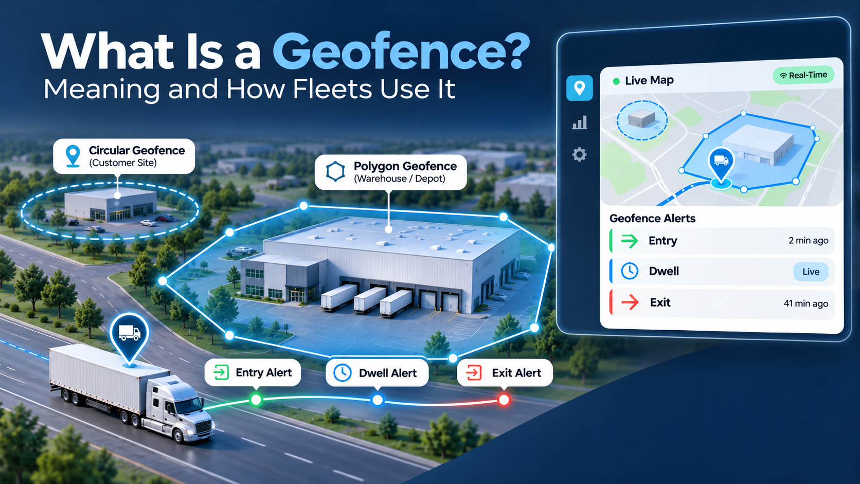
Next, think about the alerts and reports your team will actually use. Geofence alerts can notify managers when a truck enters or leaves a designated area. RouteMate’s geofence feature supports virtual boundaries and alerts for fleet movement. GPS reports can also help teams review vehicle activity and spot patterns. RouteMate lists its reporting tools on its Reports page.
Before choosing, check:
- Truck compatibility: Confirm the connector, installation method, and supported vehicle data.
- Update schedule: Choose a reporting rate that fits dispatch, security, and cost needs.
- Alerts: Look for the events your team needs to act on, such as geofence changes or unexpected movement.
- Durability and power: Match the device to the environment and the asset’s power source.
- Software fit: Check map usability, reports, user access, and integrations.
- Total cost: Include hardware, subscription, installation, support, and any added sensors.
A GPS tracker is not automatically an ELD. The FMCSA explains that ELDs record hours-of-service data under the ELD rule, while the rule does not require continuous real-time tracking of commercial vehicles. If you need both functions, confirm that the solution supports each one.
How do long-range GPS trackers work for large and remote fleets?
A long-range tracker needs a way to send its location from the places your fleet travels. GPS satellites help the device calculate where it is, but cellular or satellite communication is what delivers that location to the fleet platform. Check coverage along actual routes, not only at the depot.
Fleet systems often send updates over cellular networks. In areas without service, some devices store data for later, while others use satellite communication. The device and subscription must support that option. Ground Control describes a tracker that can switch between LTE and satellite.
Map routes with weak coverage. Ask how often the device reports in each network mode, whether it stores data offline, and what satellite use costs. A rarely moved trailer may need fewer updates than a long-haul truck.
How does GPS tracking help with fleet asset management?
A mixed fleet may include tractors, trailers, and mobile equipment. Each asset may need a different tracker based on its power source and how it moves.
A truck can use an in-vehicle tracker. A trailer can use a separate asset tracker if it may be left behind or moved without the tractor. Tools can use Bluetooth tags when they stay near vehicles or gateways. Combining the right device types in one platform can give managers a clearer view of trucks, trailers, and equipment.
Geofences can mark yards or customer sites and alert the team when a vehicle crosses a boundary. RouteMate’s asset tracking page describes live vehicle visibility, and its geofence tools cover boundary alerts. Review alerts and location data as part of normal fleet operations.
How do you choose the right GPS tracking device for your fleet?
Start with the problem you need to solve. If your main goal is to track truck locations, compare reporting frequency and route coverage first. Match a tracker to the asset and software, compare total cost, then test it on a small group before a fleet-wide rollout.
Use this checklist:
- Name the goal. Do you need live dispatch visibility, theft alerts, trip history, vehicle data, or trailer tracking?
- List the assets. Separate powered trucks from unpowered trailers and tools.
- Review the routes. Check cellular coverage and identify places that may need satellite service or offline data storage.
- Set the update need. Decide how current the location must be for dispatch, security, and customer updates.
- Confirm compatibility. Verify truck connectors, supported data, installation, and sensor options.
- Review the platform. Make sure the map, alerts, reports, and user permissions fit your workflow.
- Compare full cost. Include device, subscription, installation, support, and add-on services.
- Run a pilot. Test the device on a few routes and asset types. Check whether the data arrives when needed and whether the team can act on it.
A good truck tracker should give your team information it can use. For one fleet, that may mean live location and delivery updates. For another, it may mean trailer visibility, geofence alerts, or a shared view of every vehicle. Keep the selection tied to your operation instead of buying features that no one will use.
Conclusion
Choose a GPS tracker for semi trucks and other vehicles based on compatibility, route coverage, update rate, alerts, and software fit. Use GPS for independently moving assets and Bluetooth tags for nearby tools. To see RouteMate’s fleet visibility tools, book a demo or contact the team.